


 English
 日本語
日本語
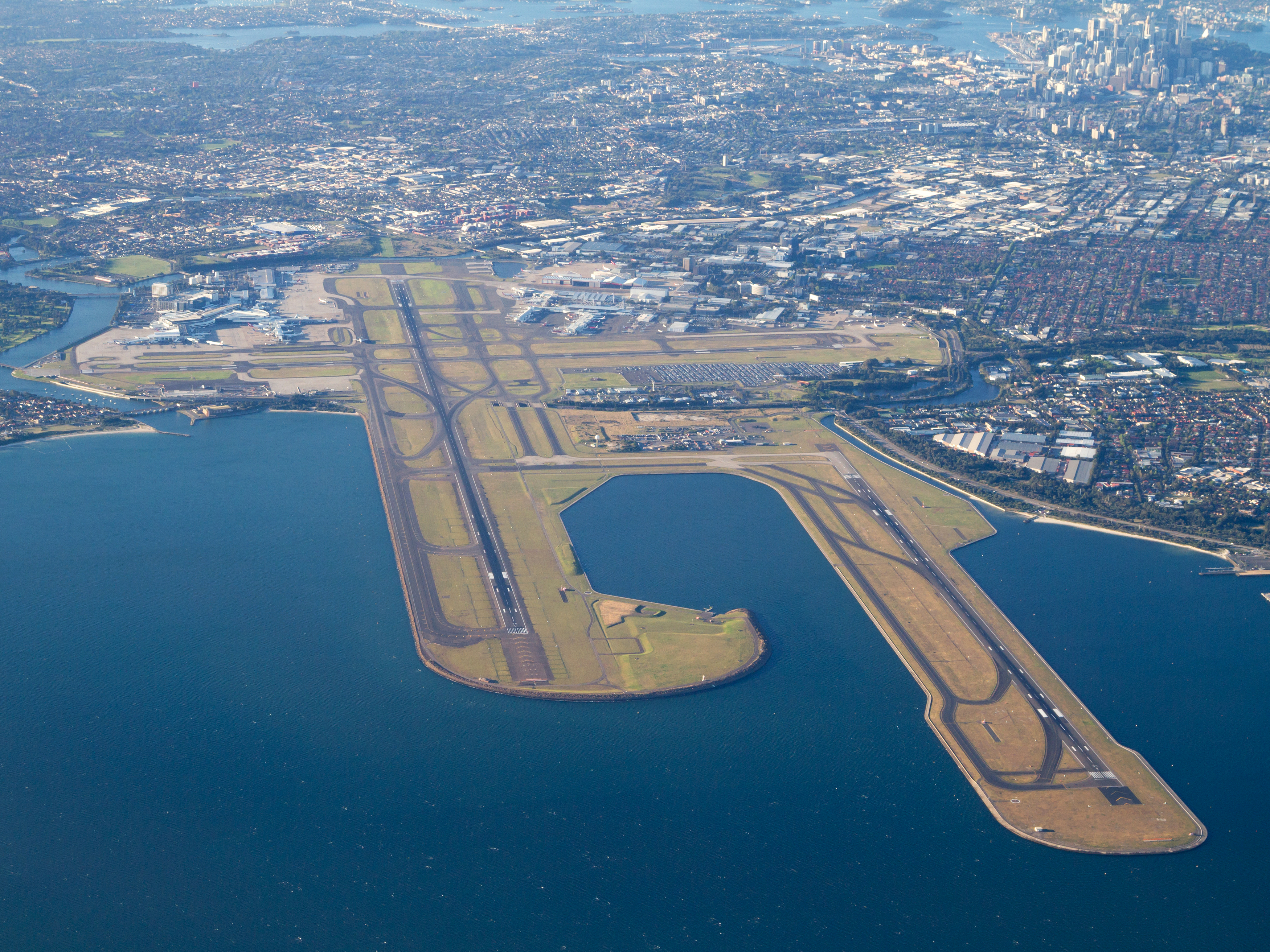
The International Civil Aviation Organisation (ICAO) and The Civil Aviation Safety Authority (CASA) require airport operators to produce Precision Approach Terrain Charts for runways available for Category II/III operation.
Sydney Airport has prepared charts for Runway 16R, Runway 16L, Runway 34R and Runway 34L.
The topography of the approach terrain can be important in all-weather operations because it can affect radio altimeter operation.
Radio altimeters are useful for any operation and are typically required for autoland, HUD guidance to landing, and authorization for Category II and Category III operations. The ground below the last part of the final approach should be regular and preferably level. This is important to ensure correct radio altimeter operation for pilot use as well as for terrain awareness and warning system and automatic landing system operation.
At runways with significant irregular approach terrain, it may be necessary for an operator to conduct aeroplane model-specific assessments of the effect of the irregular terrain on approach and landing operations. Isolated buildings or projections that do not materially disturb radio altimeter indications are usually acceptable.
Downloads
- Runway 16R Precision Approach Chart (FSS 7250-1-A1 issue 9)
- Runway 34R Precision Approach Chart (FSS 7250-4-A1 issue 4)
- Runway 16L Precision Approach Chart (FSS 7250-3-A1 issue 4)
- Runway 34L Precision Approach Chart (FSS 7250-2-A1 issue 8)